Digital Humanities Summer Institute
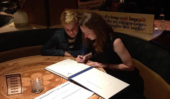
Taylor Soja shares her experiences in “Critical Pedagogy and Digital Practices in the Humanities” at DHSI.
Learn moreDigital Approaches
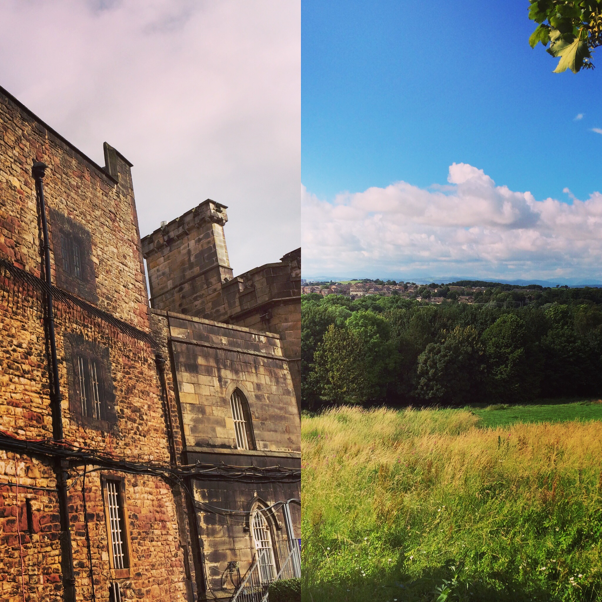
Historians often travel to Great Britain for its archives, architecture, and museums, but what increasingly draws scholars from around the world is the country’s leadership in the digital humanities. The University of Lancaster, in particular, is known for its weeklong course, GIS for the Digital Humanities, which is aimed at scholars like myself who seek to use GIS within their work.
Most maps are made using geographic information systems (GIS), a popular approach to mapping geographical and spatial data. There are pricey but increasingly common GIS platforms, such as ArcGIS or MapInfo. My home institution, the University of Oregon, is like many others universities in that it provides GIS classes aimed at geographers or other types of scientists, but they rarely teach humanities students how to map their unique kind of research.
There’s a reason why GIS has yet to catch on in American history departments: historians are talented at writing narratives that showcase human interactions, but we often avoid geographic analysis and even loathe the idea of building our own maps. We are increasingly realizing, however, that our research is best analyzed when presented across a spatial plane.
So when Rachel Lanier Taylor told me about the Lancaster course last year, I jumped at the chance to attend it. There’s no program within the United States that’s comparable to Lancaster’s, which is why Americans like Rachel and myself have traveled thousands of miles to northern England for this instruction. When I attended the course in the summer of 2016, I lodged in the University’s dorms, which were inexpensive and comfortable, and the University provided us lunch and daily snacks. The course is free to those who are accepted (which is quite a deal), but I also applied for funding from my university to help defray travel and boarding costs.
As I had suspected, GIS does lend itself to humanities research. Professor Ian Gregory, the creator and teacher of the course, showed us how to plot William Wordsworth’s locations as he traveled and wrote around England’s Lake District. GIS would also be useful in displaying census data, the spread of disease, or the movement of humans across landscapes, to name just a few examples. In my own research, I want to use GIS to map the development of international boundary lines that traverse broad oceanic spaces (the type of historical information that rarely appears on typical ocean maps).
While the Lancaster GIS course could not teach me all of ArcGIS’s complexities, I did learn to use the platform’s basic tools. And on an important theoretical level, the course taught me to think geographically and to present my research on a spatial plane. I would encourage any history graduate student or professional to seek out GIS training, particularly if they can find an instructor who is partial to our unique humanities perspective.
Hayley Brazier is a second-year PhD student in the Department of History at the University of Oregon, studying nineteenth and twentieth-century environmental history. Hayley is interested in the history of water law and water agreements in the context of modern environmental problems. Her advisers at the University of Oregon are Marsha Weisiger and Mark Carey. Hayley received her MA from Colorado State University in 2013 and her BA from the University of Kansas in 2010. Between 2012 and 2015, she wrote a book-length history of a Colorado mutual ditch company while working at the Public Lands History Center in Fort Collins, Colorado. While her recent research has been in environmental history, Hayley also has a background in the public history field, including museum studies and historic preservation.
Taylor Soja shares her experiences in “Critical Pedagogy and Digital Practices in the Humanities” at DHSI.
Learn more
To start off this section I share where I found my interdisciplinary community of women scholars and how it shaped my scholarship.
Learn more